Sunday, October 27, 2013


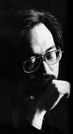
Takashi Yoshimatsu  Give tracks 4, 5, & 6 a listen here.  By the way, Yoshimatsu is not from Duarte.

On my drive home from across town last night I heard this cello concerto "Centaurus Unit" by Takashi Yoshimatsu.  It riveted my attentions for the entire piece, which played last night during Alan Chapman's "Modern Times" segment on KUSC.org from 10:09 to about 10:40pm.   http://www.allmusic.com/album/yoshimatsu-cello-concerto-centaurus-unit-the-age-of-birds-chikap-mw0001944661.  Enjoy!

Friday, October 11, 2013

Swiss Park in Duarte, 1948-1984

This video provides a pretty good visual about the beginnings of Swiss Park and about what kind of community Duarte was back in the 1950s.

The only surviving Swiss Park in Southern California is in Whittier, where the Swiss Society moved to after the City of Duarte condemned the Swiss Park there in 1984.  Here someone is selling a postcard of Swiss Park in Duarte for $8.  The City of Duarte, as opposed to the city of Duarte, condemned Swiss Park after a wind storm that brought down a lot of trees.  The City of Duarte used it as an excuse to condemn the park on behalf of the real estate developers who built Swiss Park, the townhome complex.  Condemnation of the park was announced in 1984, but in 1982 you can find here the City of Duarte's attempt to take the land from Swiss Park for redevelopment purposes.  Here is the legal proceedings if anyone cares to read them.
The location of the original Swiss Park in Duarte was set just behind The Trails Restaurant.  This map features 966 Swiss Trail Road, which sits at just about the center of where the old Swiss Park was situated.


Thursday, October 10, 2013

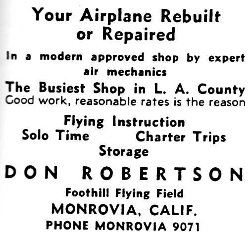
Monrovia Airport, 1928-1953


Here are more pictures of the airport.   It looks like the airport lasted from 1928-1953.  This link shows you other private airports from around the San Gabriel Valley back in the 30's and 40's.


Mural of the airport on store front.

More..


Below is an aerial shot of the runway.  The runway is marked out by the dark interrupted lines at the center that form a perforated rectangle.  Okay, got your bearings on this section?  The road at the far right that snakes to the right before straightening out is Huntington Drive.  That makes the road at the far left or to the south, Central Avenue.  The road in the foreground at the bottom, then, must be Mountain Avenue.  The lane in the center, formed by two curves that come to a point in the middle, is where the flood control channel runs today.  And the road just above or west of the airfield is, of course, Shamrock Avenue.